Our Services
Land Surveying
Described as a metes and bounds description. Often requires research of government corners, adjoining property owners and street right-of-ways.
Lot Survey
Described as a specific lot or group of lots in a recorded subdivision. All lots and improvements are noted.
ALTA/ACSM
Detailed survey includes all aspects of boundary survey plus utility locations, easements, and reservations of record.
Topographical Surveys
Graphic representation of a land mass
FHA Surveys
Specifically for FHA loans
Legal Descriptions
Metes and bounds, lot and block, and sectional breakdown
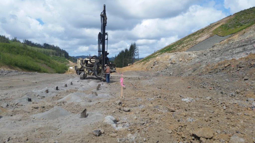
Construction Staking
Transferring architectural and engineers’ plans to the ground to supply the contractor with control for construction.
Forest Land/Cadastral Surveys
Requires retracement of Government Land Office Surveys, and restoration or replacement of Government corners.
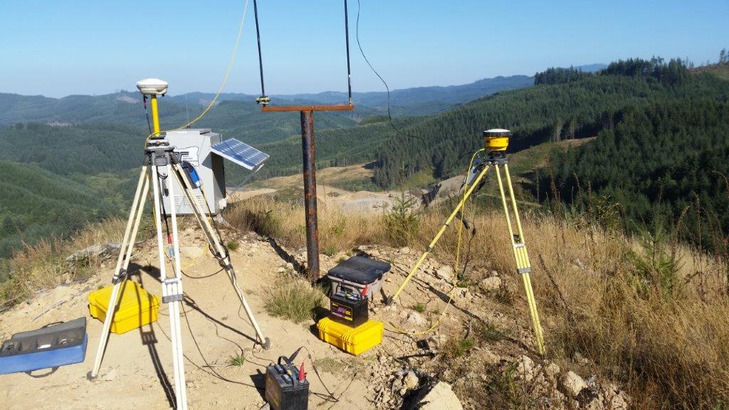
Global Position System (GPS)/Control Survey’s
Determining accurate (Latitude and Longitude) mapping coordinates from known control points.
Telecommunications
Combining topographical and GPS control surveys to provide mapping of existing conditions and F.A.A. 1A or 2C Certification.
Land Mark Surveying, Inc.
177 Bronco Drive
Roseburg, OR 97471
Business hours
Monday – Friday
8:00 a.m. to 4:00 p.m
Phone
(541) 677-9400